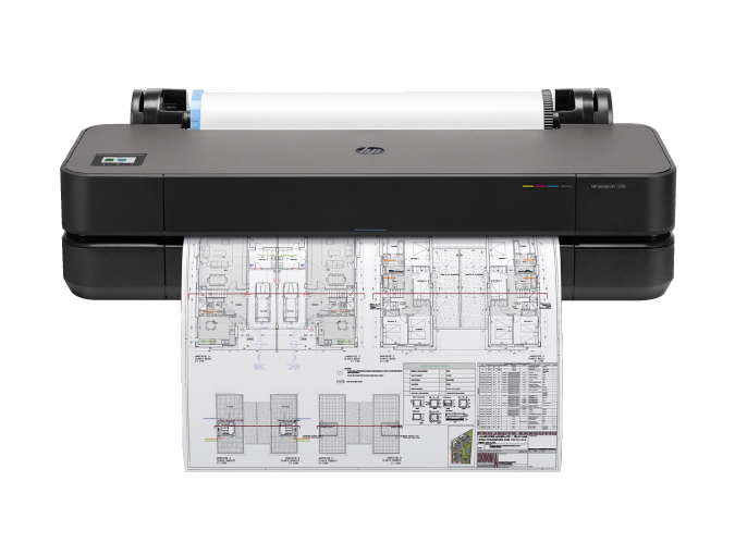
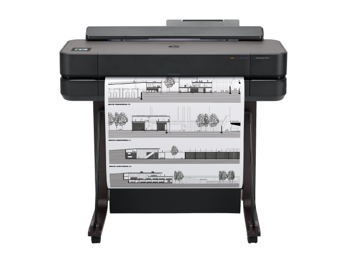
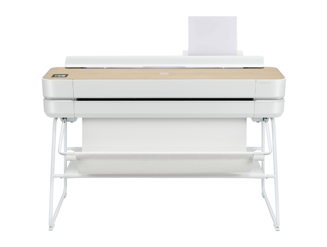
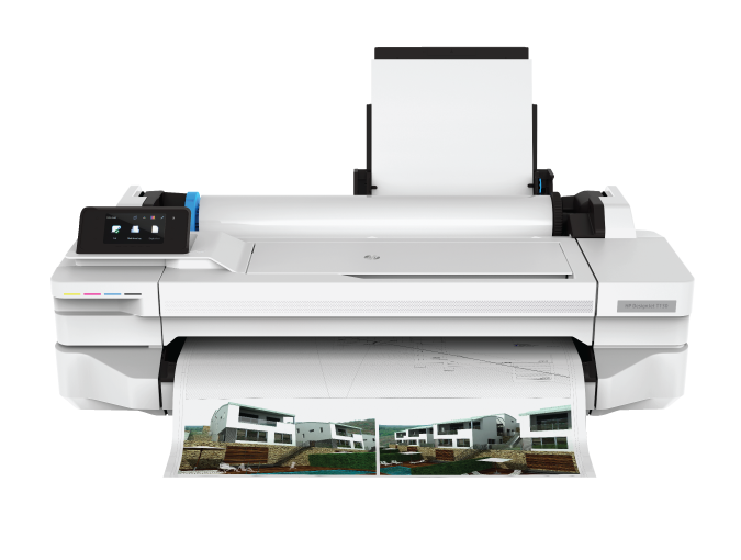
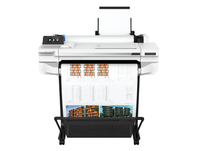
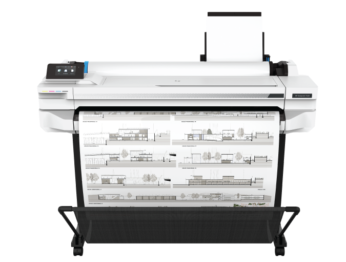
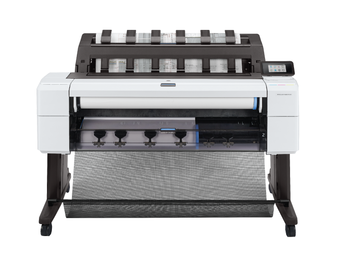
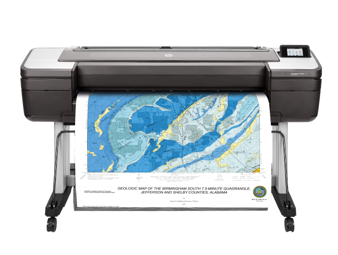
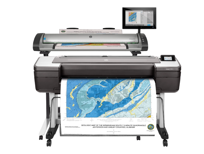
HP DesignJet T-Series
High-impact Accuracy
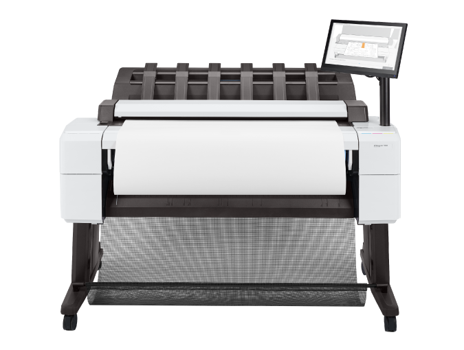
Ideal for AEC, GIS firms, MCAD users and workgroups, and government agencies to print, scan, or copy maps, technical drawings, or renderings with precision and accuracy.
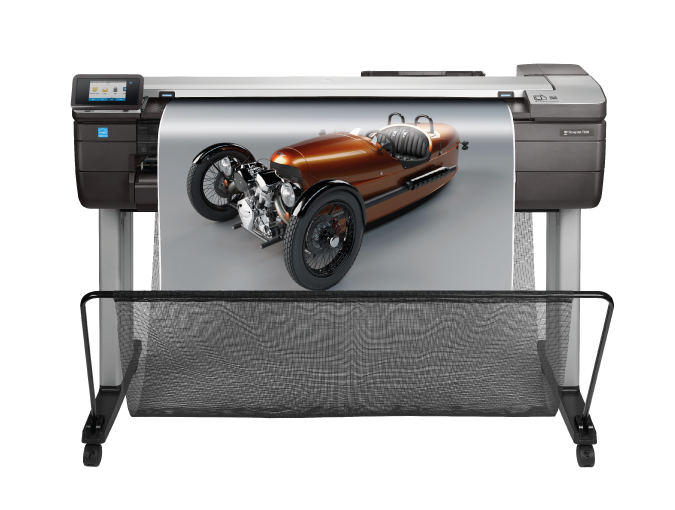
General In-office and Large-format Printing

Technical, graphics, or other applications, print at ease with user-friendly and flexible features.
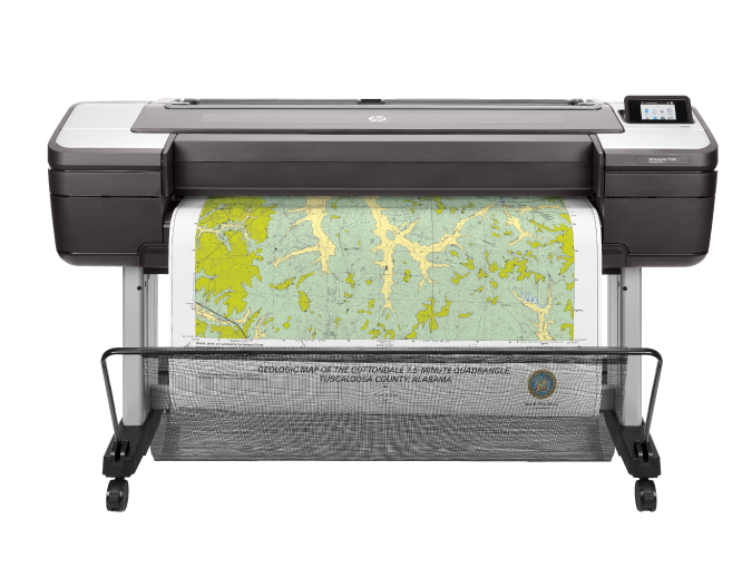
Geographic Information Systems, Exploration, Utilities, and Land Management
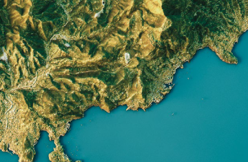
Deliver drawings, satellite and aerial photos, maps, and more in excellent detail.
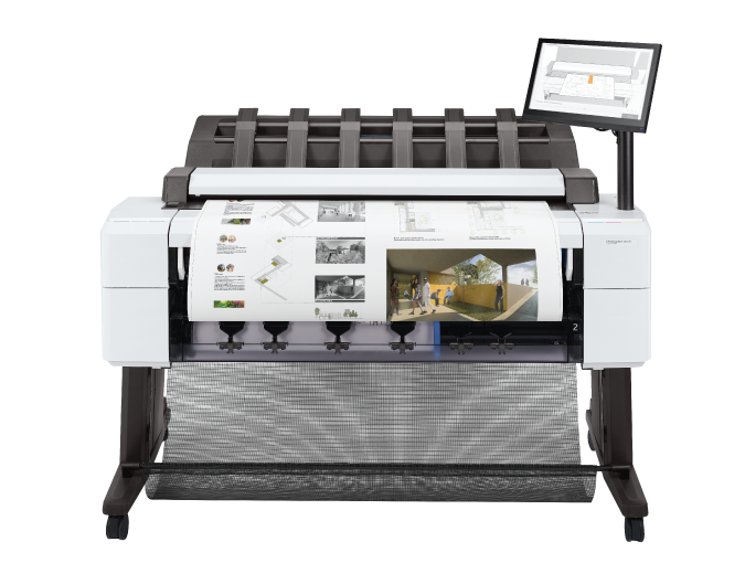
Architecture, Engineering, and Construction
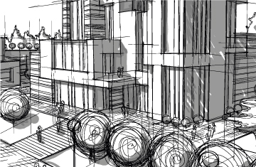
Print large-format drawings, schematics, renderings, and presentations easily.
